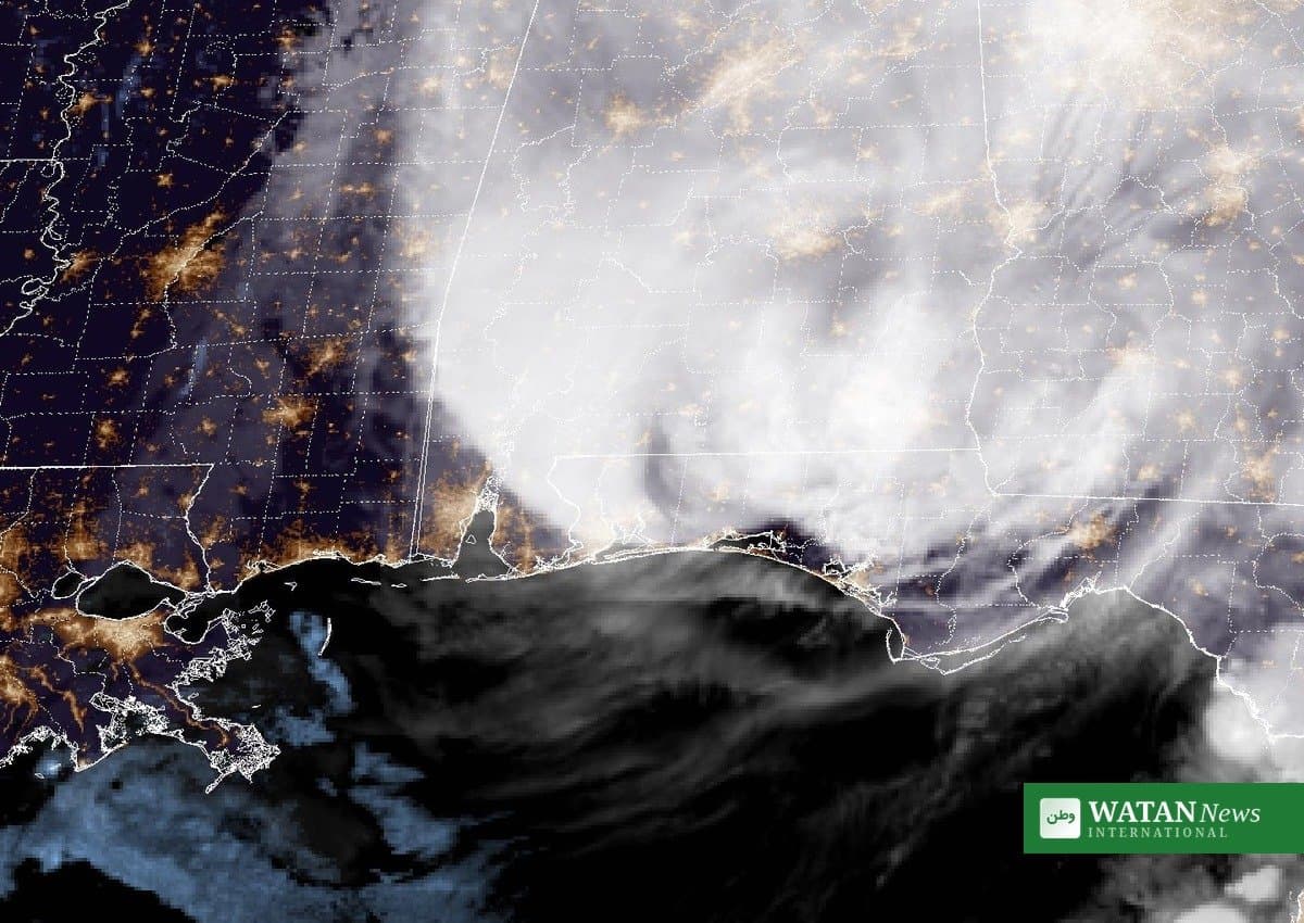
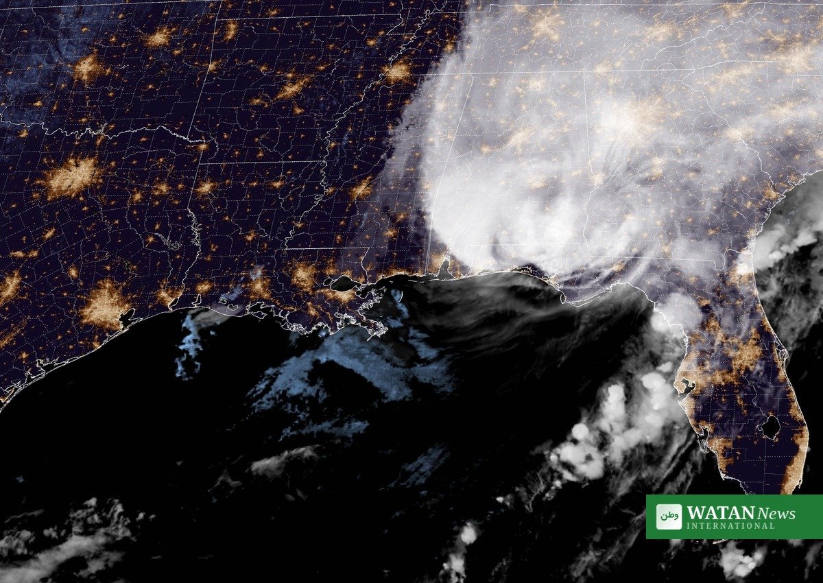
Hurricane Isaias has made landfall near Destin, Florida, lashing the Florida Panhandle and coastal Alabama with 105 mph winds as a dangerous Category 2 storm, after briefly reaching major-hurricane strength earlier in the day. The National Hurricane Center confirmed the storm’s center crossed the coast at about 8:30 p.m. CDT on Friday, October 9, bringing what it called life-threatening storm surge and devastating winds to the northern Gulf Coast.
FAKTA
- Landfall: Near Destin, Florida, about 8:30 p.m. CDT on Friday, October 9, 2026
- Strength at landfall: Category 2, maximum sustained winds of 105 mph
- Power outages: More than 400,000 homes and businesses without power across Florida, Alabama and Georgia
- Storm surge: 5.4 feet recorded at Panama City Beach; up to 6-9 feet forecast along parts of the coast
- Flash flooding: National Weather Service issued a Flash Flood Emergency for the Florida Panhandle
- Track: Storm moving north into Alabama, expected to weaken to a post-tropical storm on Saturday
Life-threatening surge and devastating winds
The National Hurricane Center warned that life-threatening storm surge and devastating winds were striking the Florida Panhandle and Alabama coasts as the eyewall — the storm’s most dangerous part — moved ashore. A storm surge warning stretched from the mouth of the Mississippi River to Florida’s Suwannee River.
Water levels in Panama City Beach climbed to 5.4 feet above normal tide and were still rising, while rising water in Destin tore away a boardwalk. Forecasters warned that parts of the coast from the Alabama-Florida state line to Grayton Beach could see 6 to 9 feet of inundation.
Hurricane-force gusts battered the coast: Pensacola City Hall recorded a 102 mph gust, a weather station at Santa Rosa Sound reported sustained winds of 91 mph with gusts up to 116 mph, and severe wind damage was reported in Escambia and Santa Rosa counties. The city of Mobile imposed a mandatory curfew overnight into Saturday morning.
Widespread blackouts and flash flooding
More than 400,000 customers had lost power across Alabama, Florida and Georgia as of Friday night, most of them in Florida, according to PowerOutage.US. Tens of thousands more were out in Alabama, mostly in Mobile and Baldwin counties, where utility crews were pulled from the field because of trees on power lines.
Florida Governor Ron DeSantis warned residents in the hurricane’s path on Friday evening to prepare for heavy rain and potential tornadoes. “Assume you’re going to lose power,” he said at a news conference.
The National Weather Service issued a Flash Flood Emergency for the Florida Panhandle, with the most dangerous flooding centered on Destin in Okaloosa County. Rainfall totals of 4 to 8 inches were expected across the region through the weekend, with isolated amounts reaching 15 inches, threatening flash flooding as the storm moved inland toward the Tennessee Valley.
First U.S. landfall since 2024
Isaias is the first hurricane of the 2026 Atlantic season and the first hurricane to make landfall in the United States since 2024. The storm briefly strengthened to a Category 3 with 120 mph winds on Friday morning before weakening slightly ahead of landfall.
More than 30 million people across Florida, Alabama, Mississippi, Louisiana and Georgia were in the storm’s broader impact zone. Amtrak suspended all trains on its Mardi Gras Service line between New Orleans and Mobile through Sunday.
Forecasters said Isaias would weaken as it moved north across Alabama and into the Tennessee Valley on Saturday and Sunday, but warned that damaging wind gusts, heavy rain and tornadoes would remain a threat well inland.
For more on severe weather and climate coverage, see Watan News English.