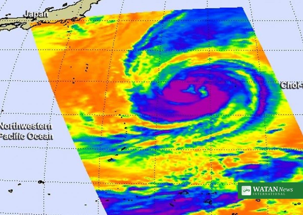
Typhoon Choi-Wan intensified over the Pacific Ocean on the night of October 2, the Philippine weather bureau PAGASA said in its 5 a.m. bulletin on Saturday, October 3. The typhoon remains outside the Philippine Area of Responsibility (PAR) and is not expected to enter it, but its trough is already bringing scattered rains and thunderstorms to the Visayas and Mindanao, with the wet spell forecast to continue through the weekend.
Key Facts
- Typhoon Choi-Wan intensified to typhoon category at 8 p.m. on October 2, according to PAGASA’s 5 a.m. bulletin on October 3.
- The storm’s center was spotted about 2,430 km east of Northern Luzon, outside the Philippine Area of Responsibility.
- It carries maximum sustained winds of 130 km/h near the center, with gusts of up to 160 km/h, moving north at 10 km/h.
- Its trough is bringing scattered rains and thunderstorms to the Visayas and Mindanao, with flash-flood and landslide warnings for high-risk areas.
- PAGASA says the Southwest Monsoon (habagat) is nearing termination, which would mark the end of the rainy season.
Typhoon Choi-Wan’s Status and Track
PAGASA’s weather specialist Leanne Loreto reported that Typhoon Choi-Wan strengthened overnight while moving across the Pacific. Its center was last located 2,430 kilometers east of Northern Luzon, far from Philippine territory.
The typhoon is currently moving north at about 10 km/h. PAGASA noted it may head toward Japan, and because it remains far away and is not expected to enter PAR, the agency said the storm will not directly affect the Philippines.
Rains Across the Visayas and Mindanao
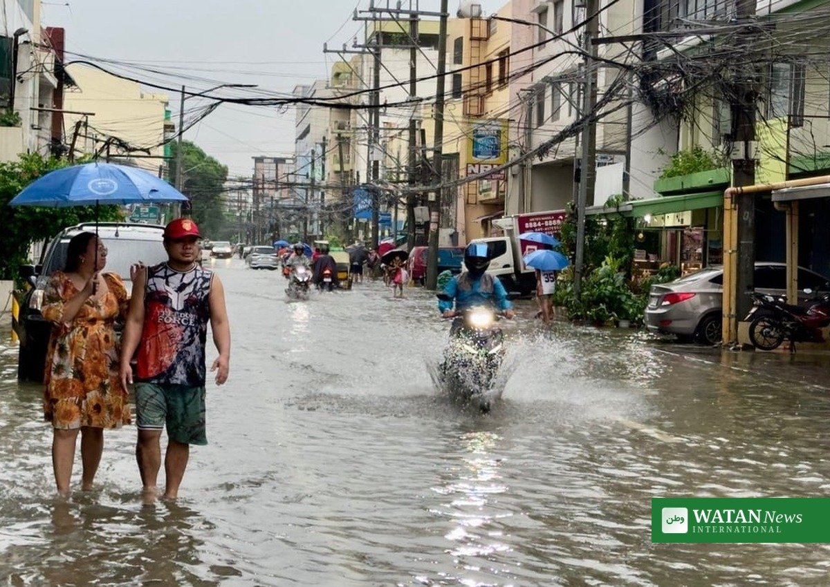
Although Typhoon Choi-Wan stays far from the country, its trough — the extension of the storm system — is directly affecting the Visayas and Mindanao. PAGASA forecast cloudy skies with scattered rains and thunderstorms today over Western Visayas, the Negros Island Region, Central Visayas, Leyte, Southern Leyte, and all of Mindanao.
In its earlier 4 a.m. bulletin on October 2, PAGASA warned that moderate to heavy rainfall driven by the storm’s extension could trigger flash floods and landslides in Mindanao, Western Visayas, Central Visayas, and the Negros Island Region. Residents in vulnerable communities were advised to stay vigilant and monitor official weather updates.
Regional Outlook at a Glance
| Area | Expected weather | Temperatures |
|---|---|---|
| Western Visayas, Negros Island Region, Central Visayas | Cloudy skies with scattered rains and thunderstorms | 24–33°C |
| Leyte and Southern Leyte | Scattered rains and thunderstorms from the trough | 24–33°C; Tacloban up to 34°C |
| Mindanao (incl. Caraga, Northern Mindanao, Zamboanga Peninsula) | Cloudy with scattered rains and thunderstorms; flash-flood risk | 24–33°C |
| Metro Manila and the rest of Luzon | Generally fair weather with isolated rainshowers | 24–32°C; Tuguegarao up to 35°C |
| Palawan | Hot and humid morning; possible afternoon thunderstorms | 24–33°C |
Conditions Elsewhere in the Country
Metro Manila and the rest of Luzon will see generally fair weather with partly cloudy to cloudy skies, with brief isolated rainshowers from localized thunderstorms in the afternoon and evening. Tuguegarao could reach up to 35°C, while Metro Manila will range between 24 and 32°C. PAGASA raised no gale warning, and light to moderate winds with slight to moderate seas are expected across the country.
Habagat Nearing Its End
PAGASA also signaled that the Southwest Monsoon, or habagat, is showing signs of ending soon, with rains already decreasing in the western part of the country. The agency said it may declare the termination of the habagat within the next few days, which would also mark the end of the rainy season. After that, the country will transition toward the amihan, or Northeast Monsoon, shifting rains from the western to the eastern section of the country. For continuing coverage of weather and major events across the region, readers can visit the Asia news section on Watan News’ main site.
Conclusion
Typhoon Choi-Wan is intensifying far out over the Pacific and poses no direct threat to the Philippines, but its reach is being felt through rains and thunderstorms across the Visayas and Mindanao that will persist through the weekend. PAGASA urged the public, especially in flood- and landslide-prone areas, to monitor official updates and take precautions during heavy downpours.