
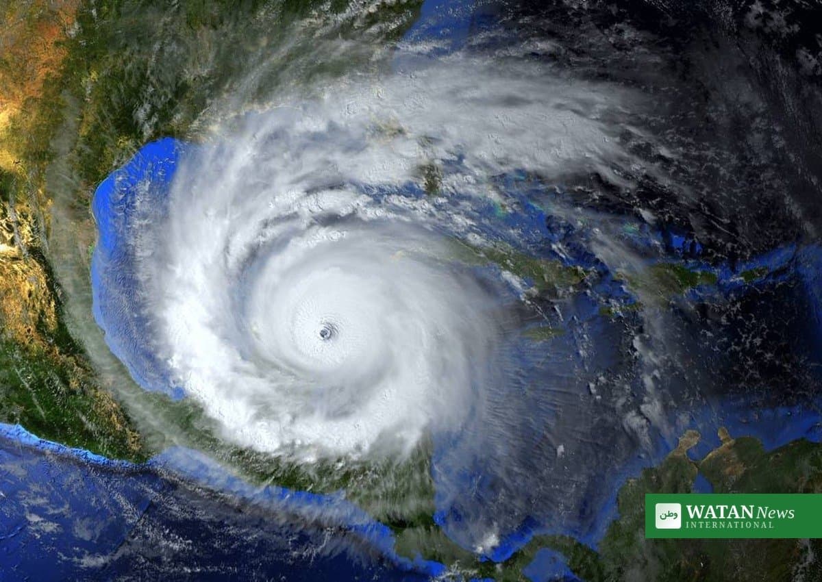
WASHINGTON — Hurricane Isaias strengthened into a major Category 3 hurricane on Friday morning, with maximum sustained winds of 120 miles per hour, the National Hurricane Center said, putting millions of people along the northern Gulf Coast in the path of a dangerous landfall expected Friday night or early Saturday.
The first Atlantic hurricane of the 2026 season intensified rapidly overnight. Data from an Air Force Reserve Hurricane Hunter aircraft recorded 120-mph winds and a minimum central pressure of 959 millibars in the center’s 7:20 a.m. CDT tropical cyclone update on Friday.
FAKTA
- Category 3 hurricane: 120 mph winds, minimum pressure 959 millibars (National Hurricane Center, Friday morning)
- Landfall expected: Friday night or early Saturday, likely near the Alabama–Florida line
- Hurricane warning: from Ocean Springs, Mississippi, to the Bay/Gulf County line in Florida
- Storm surge: up to 6–9 feet near the Alabama–Florida border; life-threatening inundation expected
- Evacuations: mandatory in parts of Alabama and Florida; emergency declarations in three states
- Season first: Isaias is the first Atlantic hurricane of the 2026 season
Hurricane Isaias racing toward the Gulf Coast
At 7:20 a.m. CDT on Friday, the center of Hurricane Isaias was about 240 miles south of Pensacola, Florida, and about 170 miles south-southeast of the mouth of the Mississippi River, moving north-northeast at 15 mph, according to the National Hurricane Center.
Forecasters expect the storm to turn north and approach the coast Friday afternoon. The center said Isaias is likely to remain a dangerous hurricane at landfall, though increasing wind shear could weaken it somewhat before it comes ashore. Forecasters cautioned that a small delay in that shear could bring a stronger hurricane to land.
“We are expecting Isaias to be a dangerous hurricane when it makes landfall,” National Hurricane Center director Michael Brennan said in a briefing on Thursday. “Today is the day to prepare and get ready.”
Tropical-storm conditions were expected to reach the warning areas during Friday, with hurricane conditions arriving tonight into early Saturday. The center warned residents not to focus on the exact forecast track: with a broad wind field, dangerous conditions will extend far from the storm’s center. Pensacola faces a 99 percent chance of tropical-storm-force winds, with Mobile at 75 percent.
Evacuations ordered across three states
Governors in Alabama, Florida and Georgia declared states of emergency ahead of the storm. Alabama Governor Kay Ivey declared an emergency for 40 counties, Florida Governor Ron DeSantis for 25 counties in the Panhandle and Big Bend regions, and Georgia Governor Brian Kemp issued a statewide declaration.
Mandatory evacuations are in effect on Dauphin Island, Alabama, and in coastal areas of Okaloosa, Escambia and Walton counties in Florida, where officials began ordering residents out at noon local time on Thursday. In Franklin County, evacuations cover barrier islands, low-lying areas, mobile homes and RV parks. Several Florida school districts canceled classes, three airports in Okaloosa County closed Thursday evening, and 5,000 National Guard troops were mobilized.
“Our assumption is that it’s going to hit strong as a probably lower Category 3,” DeSantis said at a storm-preparations briefing in Tallahassee on Thursday, adding that Floridians should follow evacuation instructions from local authorities.
Surge, flooding and tornado threats
The largest forecast storm surge is 6 to 9 feet above normally dry ground from the Alabama–Florida border to Grayton Beach, Florida. Forecast ranges include 4 to 7 feet from Grayton Beach to Indian Pass, 4 to 6 feet from Indian Pass to the Steinhatchee River and from Dauphin Island to the Alabama–Florida border, and 3 to 5 feet from the mouth of the Mississippi River to Dauphin Island — including Mobile Bay — and from the Steinhatchee River to the Suwannee River.
Southern Alabama, the Florida Panhandle and Big Bend, and southwest Georgia could receive 4 to 8 inches of rain through the weekend, with isolated totals as high as 15 inches. The National Hurricane Center said flash and urban flooding is likely and significant river flooding is possible. A tornado threat is expected to begin late Friday in coastal Alabama, the Florida Panhandle and far southwest Georgia, then spread across parts of the Southeast on Saturday.
Utility companies warned of widespread, possibly long-lasting power outages. Duke Energy advised its two million customers in the Florida Panhandle to prepare, and the National Hurricane Center warned of possible “long-duration power outages” far inland as the storm moves north after landfall.
Energy and economic disruption
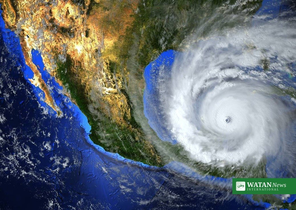
The storm has already severely disrupted oil and gas production in the Gulf of Mexico. Personnel were evacuated from 121 production platforms and five rigs, and operators shut in about 63 percent of current Gulf oil production — roughly 1.3 million barrels a day — along with about 57 percent of natural-gas output, according to the agency monitoring offshore operators.
Modelling from consulting firm Earth Science Associates estimated that about 9 million barrels of oil production could be lost across the Gulf over the duration of the storm, up from the 7.1 million barrels affected by Tropical Storm Bertha in July. Companies with the most exposure include BP, Chevron, ENI, Murphy Oil and Shell, according to the firm’s analysis.
The disruption is expected to reach well beyond energy: forecasters warned that impassable roads, destructive winds and flooding could affect business operations across the region, and even the Georgia–Alabama college football game on Saturday could be disrupted.
A record-late first hurricane
Isaias is the first hurricane of the 2026 Atlantic season and nearly tied the record for the latest first hurricane of a season, set by a storm that struck on October 8, 1905. A strong El Niño weather pattern has suppressed Atlantic hurricane development this year by increasing vertical wind shear, which disrupts the formation of strengthening tropical storms.
Once it finally organized, Isaias intensified fast: the storm went from 35 mph to 120 mph in about 60 hours, according to National Hurricane Center advisories.
Residents in the warning areas are urged to complete preparations, follow evacuation orders from local officials, and monitor updates from the National Hurricane Center and local National Weather Service offices. The center’s next complete advisory was due at 10 a.m. CDT on Friday.
More from Watan News International: Watan News in English